Home Sensing Primer Glossary Physics Related Technologies Acknowledgements
Instrument profile: SRTM--Shuttle Radar Topography Mission
SRTM is a mission that flew on an eleven day Shuttle flight that took to space on 11 February, 2000.
The goal of SRTM (fully realized) was to map 80% of the Earth's land surface using two radar antennae, mounted
on the longest structure ever placed in space (a 60 meter boom). The land mapped was between the latitudes
60oN and 54oS.
Usefulness to land managers
Because of the large pixel size (30m on a side) and the peculiar nature of the data, SRTM is unlikely to be of value to
land managers, except for the those interested in topographical detail on very large (ecoregional/state) scales.
Costs and Contacts
To learn more about C-Band data: JPL/NASA
To request C-Band data: the USGS EROS data center
For X-Band data: German Aerospace Center (DLR) (Note: The link to the
English version is at the top of this site's front page.)
Sample images
C-Band images are from the JPL/NASA web site. The C-Band 3-D data DEM shown are draped with LandSat TM data.
X-Band images are presented in compliance with image-use guidelines from
the German Aerospace Center (DLR)
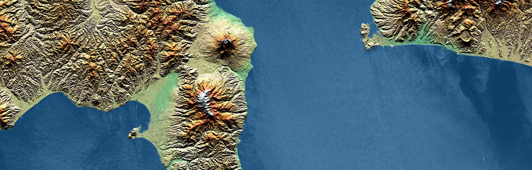 Hokkaido, Japan X-Band |
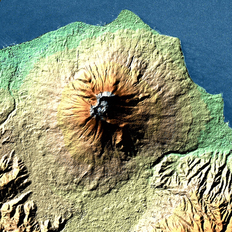 Kajatake, Japan X-Band |
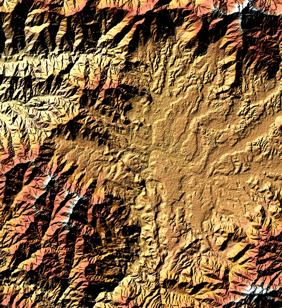 Kathmandu X-Band |
 Mt. Shasta, California C-Band. |
 US Virgin Islands C-Band. |
Useful Web Sites
See above.
Technical Specs
The sensor consisted of C-band and X-band interferometric synthetic aperture radars. The C-band data were manipulated to
produce digital topographic map products with 30m×30m spatial sampling. The data positional accuracies are as follows:
Absolute vertical distance: less than or equal to 16 m
Absolute horizontal distance: less than or equal to 20 m
Relative vertical distance: less than or equal to 10 m
While the data that are used to make C-band digital elevation models (DEMs) are distributed by NASA, the X-band
DEMs and data (which are slightly higher resolution, but without the global coverage), are processed and distributed via the German
Aerospace Center, DLR.
References
http://www.dlr.de/SRTM/copyright/copyright_en.htm--accessed 29 October 2004
http://www2.jpl.nasa.gov/srtm/dataprelimdescriptions.html--accessed 29 October 2004
http://www2.jpl.nasa.gov/srtm/index.html--accessed 29 October 2004