Home Sensing Primer Glossary Physics Related Technologies Acknowledgements
Acknowledgements
The remote sensing pages in the https://www.sarracenia.com domain have many images taken, with appropriate permissions, from web pages associated with remote sensing platforms. The majority of these images are shown in the profiles of those remote sensing platforms in the remote sensing primer. However, a few images are shown uncredited, as web site jewelry. Those images are credited below.All other uncredited graphics on these pages were created by Barry Rice, and cannot be used without permission.
| Image Description | Platform | Source |
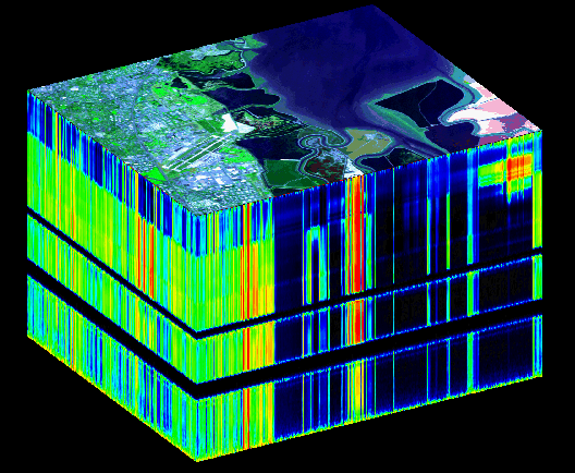
| aviris-data.gif (Moffet Field hyperspectral cube) | AVIRIS | JPL |
| island.jpg (Baker Island, 4 m resolution) | IKONOS | spaceimaging.com |
| lightsabers.jpg (Qui-Gon, Obi-Wan, and Darth Maul) | N/A | Starwars.com |
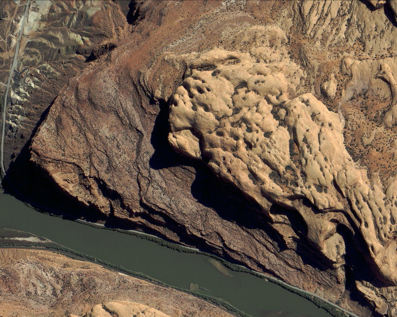
| moab.jpg (Moab UT, 1 m resolution) | IKONOS | spaceimaging.com |
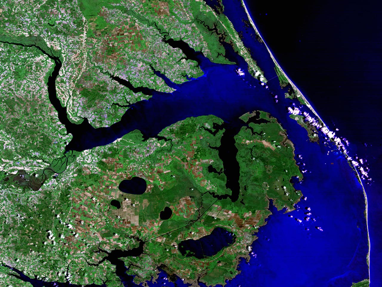
| nagshead.jpg (Nags Head, NC) | Landsat 7 TM | NASA |
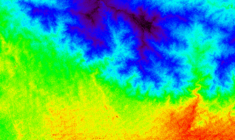
| vapmap.gif (water vapor map) | AVIRIS | JPL |